
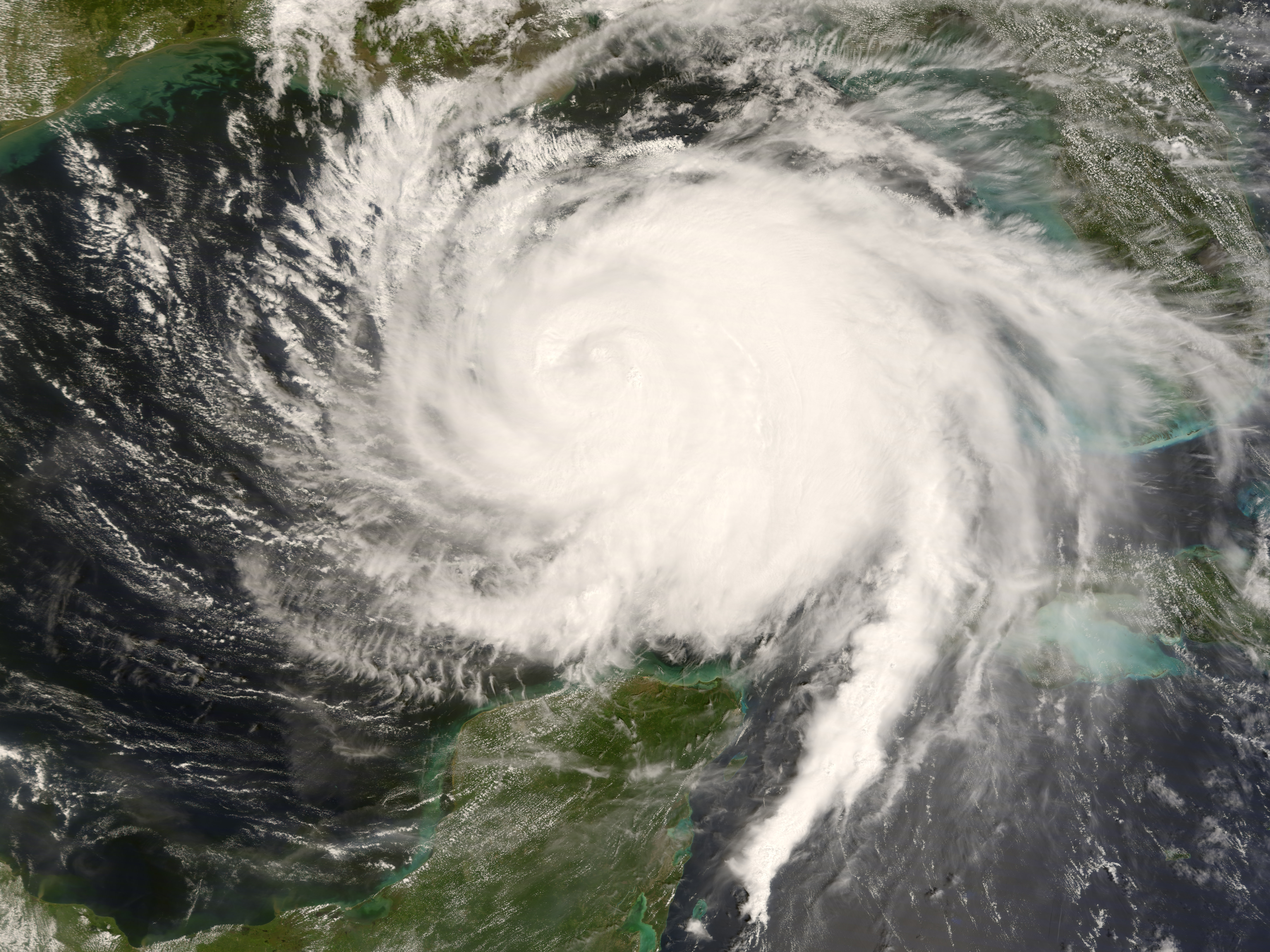
Hurricane Ike, September 2008
Atlantic Hurricane Season 2026 Information:
Hurricane Season 2026 for the Atlantic Basin begins on June 1, 2026 and runs through November 30, 2026.
Weather Terminology Courtesy: NOAA (NHC)
Current NHC Hurricane Season Forecast:
Named Storms: 8-14 Hurricanes: 3-6 Major Hurricanes: 1-3
Colorado State Forecast: Named Storms: 11 Hurricanes: 5 Major Hurricanes: 2
2026 Hurricane Season Names:
• Tropical Storm Arthur (formed June 17, 2026)
•Bertha
•Cristobal
•Dolly
•Edouard
•Fay
•Gonzalo
•Hanna
•Isaias
•Josphine
•Kyle
•Leah
•Marco
•Nana
•Omar
•Paulette
•Rene
•Sally
•Teddy
•Vicky
•Wilfred
Tropical Storm Watch v. Tropical Storm Warning:
Tropical Storm Watch: An announcement that sustained winds of 34 to 63 knots (39 to 73 mph or 63 to 118 km/hr) are possible within the specified area within 48 hours in association with a tropical, subtropical, or post-tropical cyclone.
Tropical Storm Warning: An announcement that sustained winds of 34 to 63 knots (39 to 73 mph or 63 to 118 km/hr) are expected somewhere within the specified area within 36 hours in association with a tropical, subtropical, or post-tropical cyclone.
Hurricane Watch v. Hurricane Warning:
Hurricane Watch: An announcement that sustained winds of 64 knots (74 mph or 119 km/hr) or higher are possible within the specified area in association with a tropical, subtropical, or post-tropical cyclone. Because hurricane preparedness activities become difficult once winds reach tropical storm force, the hurricane watch is issued 48 hours in advance of the anticipated onset of tropical storm force winds.
Hurricane Warning: An announcement that sustained winds of 64 knots (74 mph or 119 km/hr) or higher are expected somewhere within the specified area in association with a tropical, subtropical, or post-tropical cyclone. Because hurricane preparedness activities become difficult once winds reach tropical storm force, the warning is issued 36 hours in advance of the anticipated onset of tropical-storm-force winds. The warning can remain in effect when dangerously high water or a combination of dangerously high water and waves continue, even though winds may be less than hurricane force.
Saffir-Simpson Hurricane Wind Scale: The Saffir-Simpson Hurricane Wind Scale is a 1 to 5 categorization based on the hurricane’s intensity at the indicated time. The scale provides examples of the type of damage and impacts in the United States associated with winds of the indicated intensity. The following table shows the scale broken down by winds:
| Category | Wind Speed (mph) | Damage |
| 1 | 74 – 95 | Very dangerous winds will produce some damage |
| 2 | 96 – 110 | Extremely dangerous winds will cause extensive damage |
| 3 | 111 – 129 | Devastating damage will occur |
| 4 | 130 – 156 | Catastrophic damage will occur |
| 5 | > 156 | Catastrophic damage will occur |
A detailed description of the Saffir-Simpson Hurricane Wind Scale is available at http://www.nhc.noaa.gov/aboutsshws.php.
Difference Between Hurricane, Tropical Storm, Depression, Disturbance, & Wave:
Hurricane/Typhoon: A tropical cyclone in which the maximum sustained surface wind (using the U.S. 1-minute average) is 64 kt (74 mph or 119 km/hr) or more. The term hurricane is used for Northern Hemisphere tropical cyclones east of the International Dateline to the Greenwich Meridian. The term typhoon is used for Pacific tropical cyclones north of the Equator west of the International Dateline.
Major Hurricane: A hurricane that is classified as Category 3 or higher.
Tropical Depression: A tropical cyclone in which the maximum sustained surface wind speed (using the U.S. 1-minute average) is 33 kt (38 mph or 62 km/hr) or less.
Tropical Disturbance: A discrete tropical weather system of apparently organized convection — generally 100 to 300 nmi in diameter — originating in the tropics or subtropics, having a nonfrontal migratory character, and maintaining its identity for 24 hours or more. It may or may not be associated with a detectable perturbation of the wind field.
Tropical Storm: A tropical cyclone in which the maximum sustained surface wind speed (using the U.S. 1-minute average) ranges from 34 kt (39 mph or 63 km/hr) to 63 kt (73 mph or 118 km/hr).
Tropical Wave: A trough or cyclonic curvature maximum in the trade-wind easterlies. The wave may reach maximum amplitude in the lower middle troposphere.
Post-tropical Cyclone: A former tropical cyclone. This generic term describes a cyclone that no longer possesses sufficient tropical characteristics to be considered a tropical cyclone. Post-tropical cyclones can continue carrying heavy rains and high winds. Note that former tropical cyclones that have become fully extratropical…as well as remnant lows… are two classes of post-tropical cyclones.
Stay informed with the latest weather and tropical developments at http://www.madisoncountytexasweather.com or on our Facebook page, http://www.facebook.com/MadisonCountyTexasWeather.
