Midweek Rains: Scattered Rain Wednesday; Warmer by the Weekend!
Website: http://www.madisoncountytexasweather.com
Weather Provided By: Coy Bailey II (MCTX Weather)
(04/21/2026) Madison County Rain Total: —
Current Burn Bans: None!
Current Watches, Warnings, & Advisories: None!
Forecast Discussion:
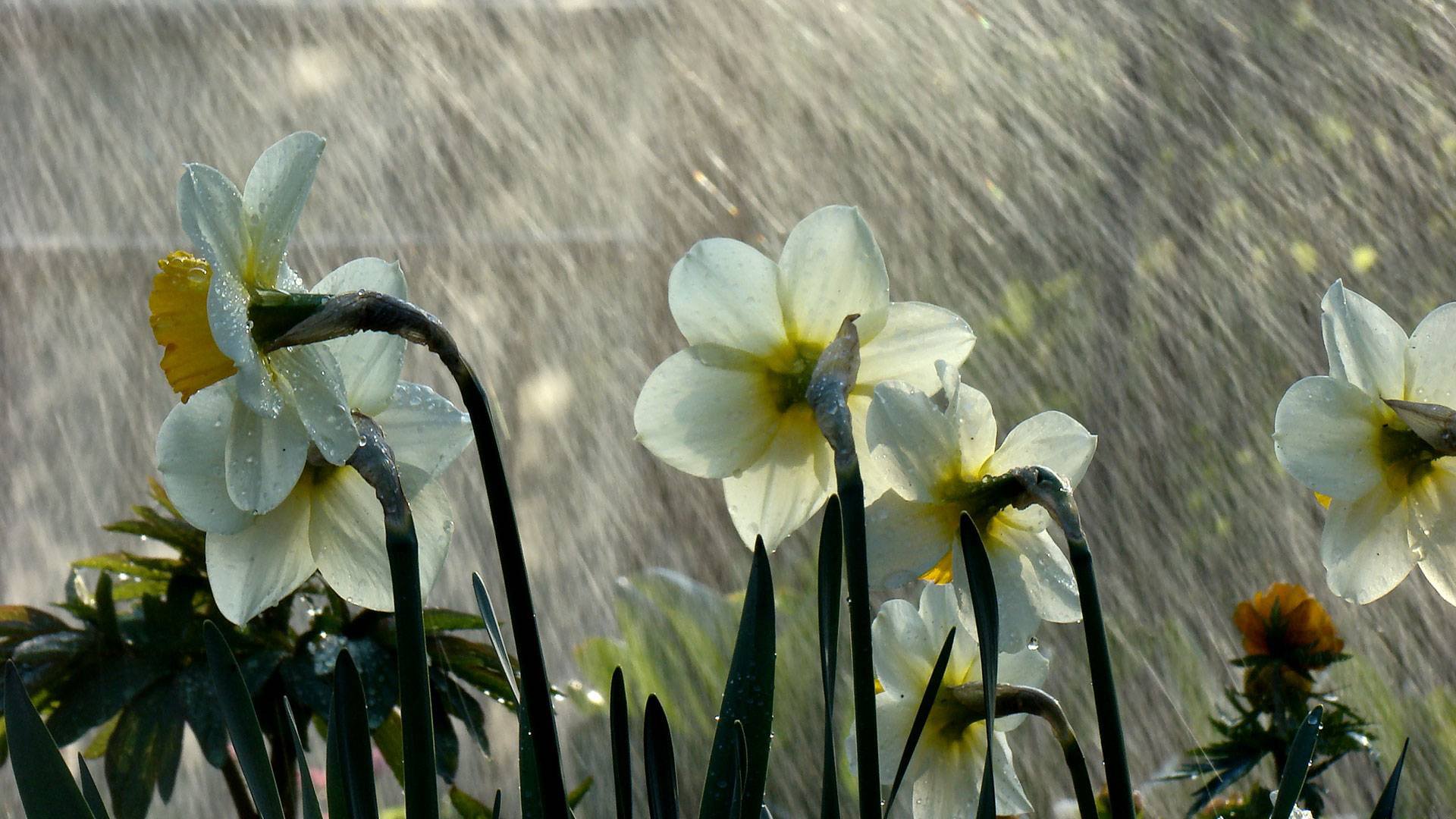
From west to east, scattered shower activity is beginning to dwindled across the Brazos Valley through Tuesday evening. Temperatures were cooler Tuesday afternoon, with most of us struggling to break out of the 60s throughout the day. Ponded streets and and wet roadways are a concern overnight, as things begin to slowly dry up a bit, so use caution on local roads through that time. Because of an east wind, added clouds, and wet conditions, temperatures begin right at the 60° mark Wednesday morning across the Brazos Valley.
A secondary disturbances move nearby the Brazos Valley Wednesday, bringing a chance for scattered showers and isolated thunderstorms throughout the day. The main timing will be during the afternoon and evening hours of Wednesday for the region. With the rainfall more scattered in nature, temperatures begin to move back in the middle/upper 70s across Southeast Texas. By late week, temperatures are finally back in the 80s areawide across the Brazos Valley under cloudier skies and a few isolated rain chances. Temperatures fall a few degrees short of the 90° mark Saturday and Sunday. We’ll continue to see a 20% chance for isolated showers and thunderstorms through late Saturday through Monday.
5-Day Weather Outlook
Earth Day: High 78. Low 65. Storms. 50% Chance/Rain.
Thursday: High 83. Low 68. Partly Cloudy.
Friday: High 85. Low 67. Mostly Cloudy. 20% Chance/Rain.
Saturday: High 88. Low 68. Partly Cloudy.
Sunday: High 88. Low 70. Mostly Cloudy.
Stay with Madison County, Texas Weather for the latest weather and tropical developments, including: current radars, watches, warnings, advisories, and severe weather coverage.
